To create geological profiles, one of the available tools for QGIS is qProf.
qProf is still maintained and features are added, mainly based on user requests and suggestions, but the main development has shifted to qgSurf, via the addition of the GeoProfiler tool, that is a porting of the functionalities of qProf to qgSurf.
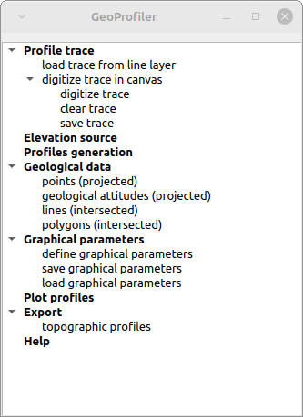
GeoProfiler GUI is partially modified with respect to qProf and has a general workflow that surely has to be improved as easy of use but that should be more intuitive than that of qProf.
One of the main features of GeoProfiler is its ability to create parallel profiles, starting from a base one.
The following example illustrates the creation of parallel profiles.
We use a base profile, that corresponds to the blue dotted line in the figure below.

Having defined the base profile (in addition to the source DEM) we define the number and spacing of parallel profiles ('Profiles generation' command):

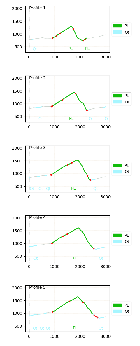
The tool automatically replicates the base profile 5 times, so that at the end we obtain parallel profiles as in the figure below.

The resulting profiles in plan view, with geological outcrops and fault line intersections, are obtained using the 'Plot profiles' command:
Important: to define and fine-tune the polygon and line intersections graphical parameters, as well to define the figure parameters, you need to find the best ones in the graphical parameters windows by trial-and-error.
Very important: defined polygon intersection will not show up in the profiles until you define their graphical parameters ('Polygon intersections' command in figure below).

Crucial: GeoProfiler has one major limitation, with respect to qProf: it does not handle source data with different CRS. So all input datasets must share the same CRS, say EPSG: 32633, to produce meaningful results.
The version of qgSuf with GeoProfiler included has been submitted to the QGIS plugin repository today (Nov. 27, 2022) and has yet to be approved.
For the impatient or the curious, it can be downloaded and imported in QGIS as a zip file via the GitLab release (remember to unzip the downloaded file, rename the folder as "qgSurf", zip again with for instance 7Zip and install the plug-in from the new zip file)